More Mandel from Massachusetts!

FulGaz contributor, Scott Mandel takes us through some unique tracks that provide some excellent training loops for local riders. These rides are a mix of street riding and some more popular bike paths around the region.

Scott gave us a cracking set of rides back in mid-July, so if you like these you’ll love his latest collection.

WOMPATUCK RIDE

Starting on a sunny Memorial Day weekend in Wompatuck State Park, this ride takes you through the park's rolling hills and out quiet side streets out east through Norwell to the South Shore seaside town of Scituate on the Atlantic Ocean (with our usual cafe stop) and up north to Cohasset and back along the coast for some scenic ocean views before turning back south into Hingham and back to the starting point.

More Info
38.18km
DISTANCE
01:23:07
DURATION
299m
ELEVATION

CHARLES RIVER

Filmed early on a Sunday morning to avoid the heat and the crowds, this ride starts in Boston Common with a view or the Golden Dome of the Massachusetts State House and proceeds past the Bull & Finch tavern on Beacon St and over the Arthur Fiedler footbridge out to the south side of the Charles River on a popular exercise path for joggers and cyclists, and heads west along the river following the course of the Head Of The Charles Regatta. Winding through the college campuses and by the boathouses of Boston University and Northeastern, we cross the river in Watertown to come back along the north side in Cambridge through Harvard and past MIT, heading back into Boston with a gentle climb over the Longfellow Bridge and downtown, turning up Mt Vernon St for a short sharp uphill before ending up across the street from the Golden Dome of the State House at the north end of Boston Common where we started.

More Info
26.74km
DISTANCE
00:52:07
DURATION
104m
ELEVATION

MOUNT GREYLOCK

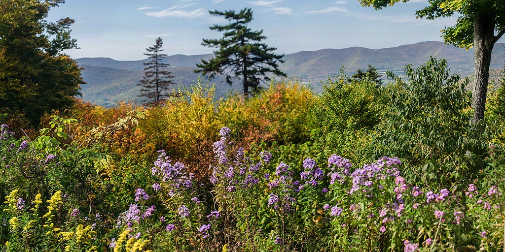
Standing at 3491 feet, Mount Greylock is the highest point in Massachusetts and is crossed by the Appalachian Trail. This 9-mile ride is up the northern road from North Adams to the Veterans War Memorial Tower. It starts quickly with two short steep sections of 14 % and 17 % to get the legs moving, before a false flat / slight downhill. Once you enter the State Reservation you have 6.5 miles to the summit with more manageable grades. The lower part of the climb is mostly in the trees and shaded, but about two-thirds of the way up you pop out for some great views of the valley to the east. The final push to the summit includes another false flat / small downhill to pick up speed before the final push up the circular drive to the summit.

More Info
14.04km
DISTANCE
00:57:37
DURATION
822m
ELEVATION

SHINING SEA BIKEWAY

Named after a line in the song "America The Beautiful" written by Falmouth native Katharine Lee Bates, this rail trail runs from North Falmouth on Cape Cod and travels along the route of the old New York, New Haven and Hartford railroad past the cranberry bogs of Sippewissett Marsh and alongside Chapaquoit Beach before finishing near the ferry docks to Martha's Vineyard in Woods Hole. Keep some of your powder dry for the finishing sprint and follow your lead-out man to the line!

More Info
16.74km
DISTANCE
0:31:43
DURATION
40m
ELEVATION

CAPE COD CANAL SOUTH SIDE

A short, flat ride alongside the Cape Cod Canal in Massachusetts. You have a 3Km warm-up before tackling the 5Km sprint between the Sagamore and Bourne bridges.

More Info
10.4km
DISTANCE
0:21:20
DURATION
20m
ELEVATION