Pick n Mix vol. 29
It’s hard to believe we are at almost 30 Pick n Mix collections.
For those of you who are new to FulGaz, a Pick n Mix collection is a showcase of a variety or rides from a variety of contributors.
This week we welcome first-time contributors from Switzerland, Ivo Stettler, and extend our thanks Kevin Lottis, Martin Becker, Richard Town, and Iain Crawford for helping build this unique collection.
Find all these rides under NEW in the FulGaz app or by searching the surname of the above contributors.
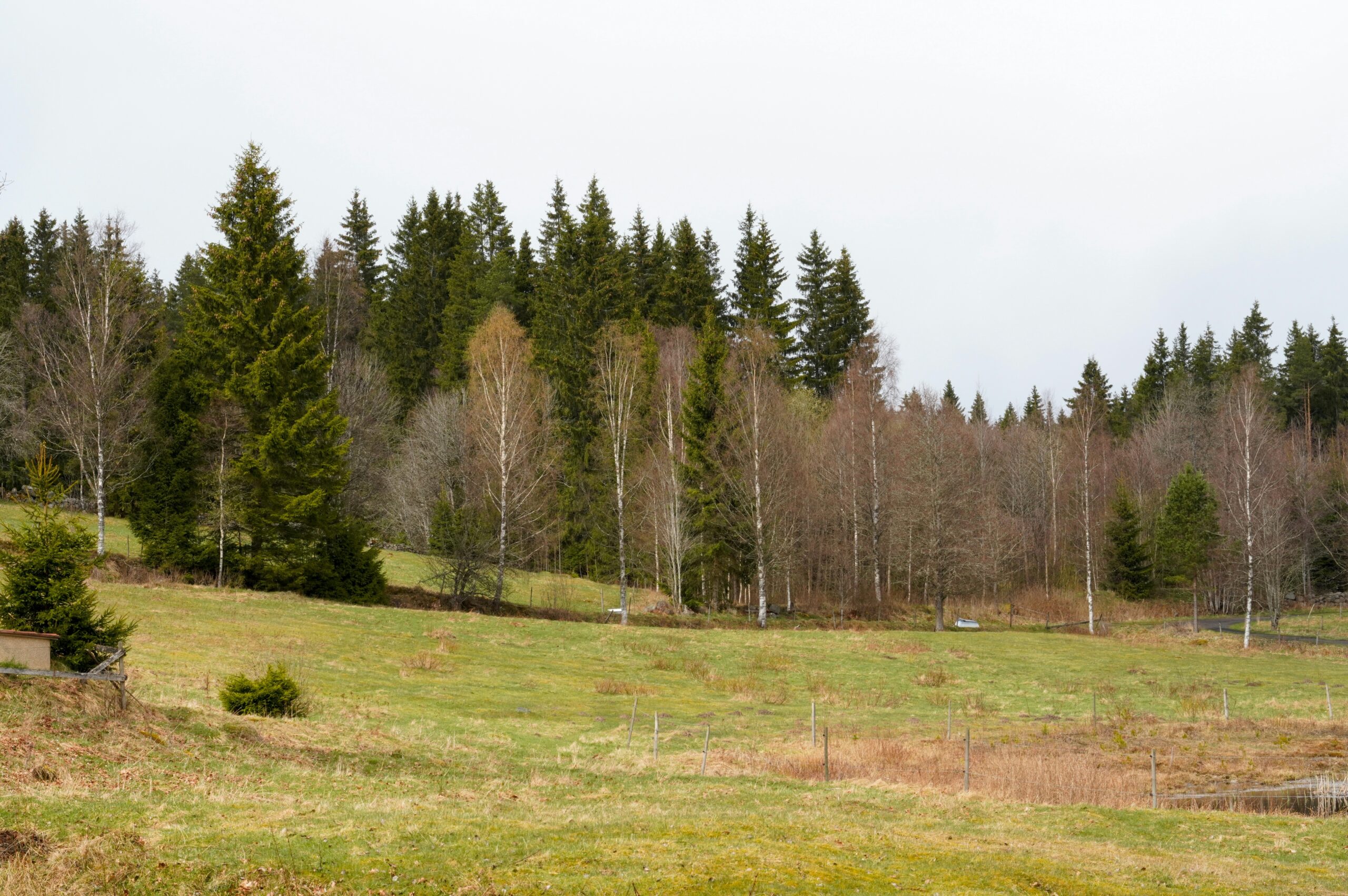
LA VICTORIA
Often used as a warm up/cool down ride coupled with Cap Formentor (available on FulGaz) you’ll depart from the Marina at Puerto Pollensa on a cycle path route that hugs the bay. It’s a relatively busy section, as you’re on a main road along the coast, but you’re right by the water’s edge and it’s a pleasure to tap along the easy flat gradients. Finally you'll pass through stone pillars and onto the La Victoria peninsula, leaving the urban areas behind you. Bar S’illot (and apparently a nudist beach!) is on your left as you start climbing. The road up to Ermita de la Victoria is narrow, steep (16% in places) and wooded but with under a kilometre from the junction to the car park at the top, at least it’s not too long.
More InfoCHIANTI CLASSICO
Italian tarmac is some of the best in the world. Take the time to view the beautiful scenery with Kevin.
More InfoMALCESINE
A wonderful ride from Riva del Garda to Malcesine and back via a climb over Passo Campiano. This ride takes us to lake Garda in the Italian alps on a sunny day in April 2022. We start from Riva del Garda and head via Torbole towards Malcesine along the east coast with lots of beautiful views of this great lake and its surroundings. We approach Malcesine riding directly at the lake shore, where we can see its historic castle already from far. After a short glimpse of the old town we take a left on the Via Panoramica, which more than deserves its name, taking us up to Passo Campiano (+ 278m) and back down on a rapid descent, allowing even more stunning views across the lake from a higher vantage point, garnished with blooming trees, olive tree gardens and typical Italian villas. Once we meet the lake shore again at Navene, we make our way back to Riva following the main road.
More InfoKING'S DAY - TULIPS AND DUNES
A cold King's Day (end of April) in the Netherlands; in the area just south of Den Helder. Millions of blooming bulbs: daffodils, hyacinths, tulips amongst others with a fantastic fragrance. They won't be there for long; just before the blooms start to fade the heads are removed to ensure the remaining plant directs its energy back into the bulb to stimulate its growth and size. After passing a number of bulb fields we climb onto the dune path and head south, have a glimpse of the beach and loop back round through Julianadorp where there are some festivities in full swing. Shortly before passing the airport there is an unplanned tour of the industrial estate as I strived to find a railway crossing.
More InfoBALLWIL ROTHENBURG LOOP
Starting easy at the village of Ballwil and ride through Eschenbach. Then descend to Waldibrücke, while you see in the distance some mountains of the Swiss alps. Heading right, along the military airport Emmen and see Mount Pilatus straight ahead, the famous mountain right beside the city of Lucerne. To bypass the bigger streets, you turn right onto a smaller street, where the ascent to Rothenburg begins. Reaching Rothenburg, you turn right to the main road again and climb with approx. 4% just outside Rothenburg, where you head right again on a smaller road with less traffic to the small village of Urswil. From there you're rolling back to Ballwil.
More Info