The Bay Area with David Linkous

Returning contributor David Linkous brings us a great collection from the Bay Area with a bonus ride from Louisville, Kentucky.

A favourite in the FulGaz office this week, the Paradise Loop, a 34km ride with a few hills to keep you entertained and tapping away on the trainer!

You can find these rides under NEW in FulGaz or by searching “Linkous“.

SEVEN SISTERS TO MOUNT TAMALPAIS

This ride starts at the top of Bolinas Ridge, then traverses upward along the crest over a series of peaks known locally as “The Seven Sisters”. On Strava, they are named (north-to-south) Tempest, Tierny, Trinity, Teresa, Tabitha, Tamara, and Tiffany. After departing the company of the Sisters, a left turn leads up another ridge to the East Peak of Mount Tamalpais, at nearly 2600 feet, the highest peak in Marin County. Look for views of the Pacific Ocean and the San Francisco Bay along the way. No fog so there is a glimpse of the city on the Mount Tamalpais climb before the downhill after the West Peak and then through the flora at the end of the ride.

More Info
10.684km
DISTANCE
0:42:14
DURATION
389m
ELEVATION

MILL VALLEY TO WOODACRE

The ride starts in downtown Mill Valley and proceeds on to Corte Madera via a 1.4 mile climb and exhilarating downhill on Camino Alto. The ride then ambles northwestward through the quaint towns of Larkspur, Kentfield, Ross, San Anselmo, and Fairfax. After Fairfax, there is a one mile climb up White’s Hill (7.7% average grade) to tiny Woodacre, nestled in the redwoods. For those seeking a scenic warmup ride, the Mill Valley to Fairfax route has one climb instead of two.

More Info
22.15km
DISTANCE
1:01:29
DURATION
280m
ELEVATION

PARADISE LOOP

The loop starts in Mill Valley, California, just north of San Francisco. It follows along the edge of the Strawberry peninsula, through Belvedere, and around the Tiburon peninsula on Paradise Drive, all the time skirting the San Francisco Bay. The trip cuts through Corte Madera with beautiful views of Mt. Tamalpais, the highest peak in Marin County at 2600 feet, and then up and over Camino Alto to return to Mill Valley. Look for views of San Francisco about 2.3 miles (3.7 km) into the ride and in Tiburon about 7.9 miles (12.7 km) in.

More Info
34.624km
DISTANCE
1:26:37
DURATION
325m
ELEVATION

MILL VALLEY TO FAIRFAX

The ride starts in downtown Mill Valley and proceeds on to Corte Madera via a 1.4 mile climb and exhilarating downhill on Camino Alto. The ride then ambles northwestward through the quaint towns of Larkspur, Kentfield, Ross, and San Anselmo, ending in Fairfax. Enjoy it as a sightseeing ride or use it as a warmup to climb to the top of Mt. Tamalpais, the highest peak in the north bay of San Francisco by following it with Fairfax to Bolinas Ridge and Seven Sisters to Mt Tamalpais Peak rides which are end-to-end routes - total climbing of 1150 meters (3800 feet).

More Info
15.745km
DISTANCE
0:41:35
DURATION
143m
ELEVATION

MILL VALLEY TO SAN FRANCISCO ACROSS THE GOLDEN GATE BRIDGE

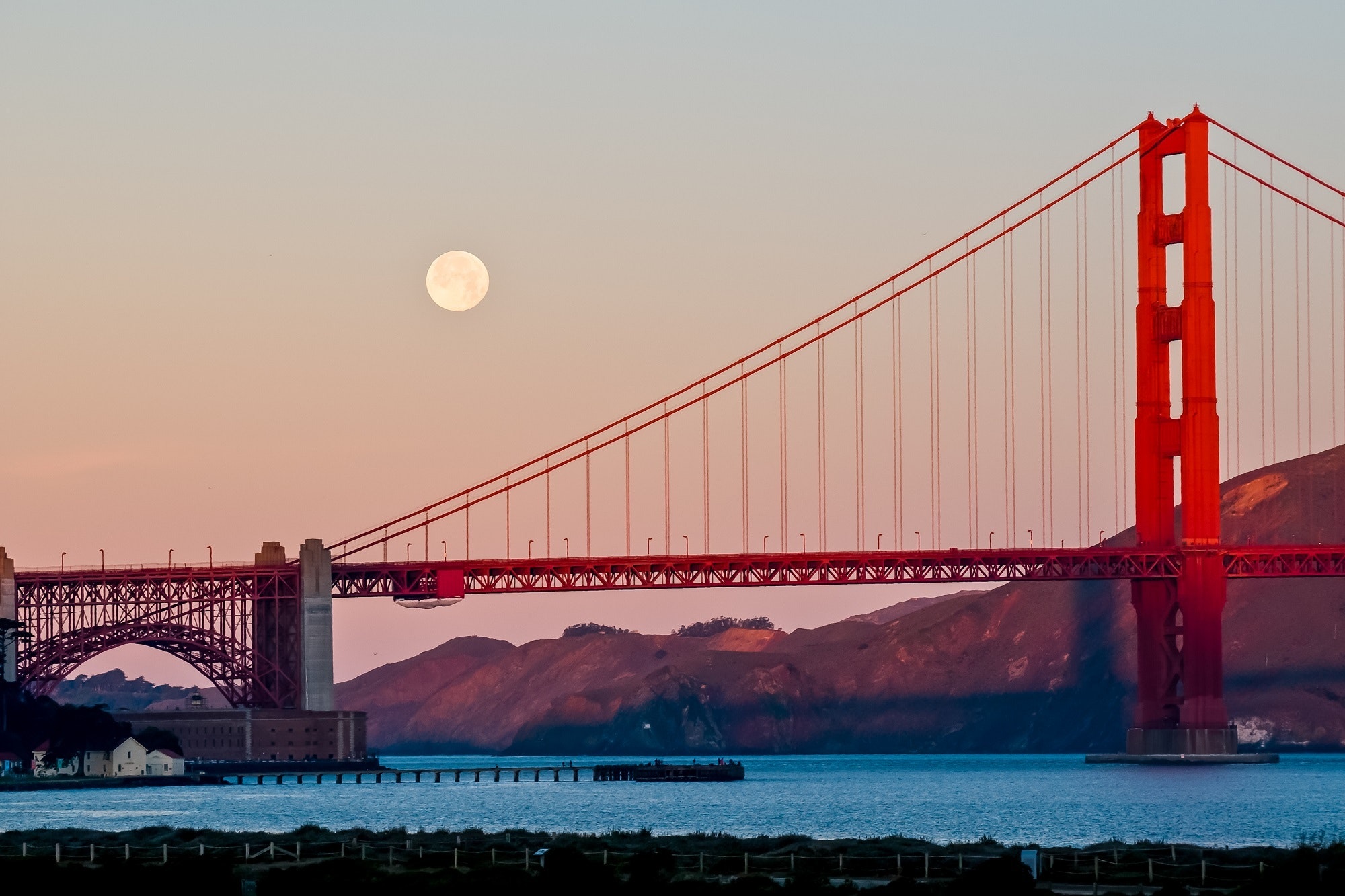
This ride starts in Mill Valley, proceeds to Sausalito, crosses the Golden Gate Bridge, cuts through the Presidio, and ends in the Seacliff neighborhood in northwestern San Francisco. Mill Valley to Sausalito is flat and at sea level with views of Strawberry and Tiburon on your left and eventually San Francisco ahead across the bay. A 1.4 mile climb takes you to the north end of the iconic bridge completed in 1937. After the bridge, you traverse the Presidio of San Francisco, a military outpost established by the Spanish in 1776 and used by the American military from 1847 to 1994. Now it is a National Park. Look for views of the Pacific Ocean and China beach on the right. The ride ends with an eastward view of the bridge and the Marin Headlands in the Seacliff neighbourhood.

More Info
18.166km
DISTANCE
0:48:01
DURATION
191m
ELEVATION

THE PARKLANDS OF FLOYDS FORK

The Parklands spans 5 contiguous parks along Floyds Fork (creek) designed for biking, hiking, and paddling. A dedicated paved bike path is 19 miles long. The park is an architectural marvel with beautiful bridges and cliff-side terraces constructed to manage the limestone terrain. It is part of the Louisville Loop Project with a master plan to create a 100 mile dedicated bike path around the city. This ride spans the length of the park from south to north with a short detour in the middle due to construction. There is a gradual upward trajectory with a few bumps along the way. Enjoy an early spring tour - not as lush as in the summer but with better views!

More Info
30.856km
DISTANCE
1:13:49
DURATION
300m
ELEVATION