Rick Norton has been a solid contributor to FulGaz for the last few years. With the addition of this week’s rides, he’s now got 30+ rides on the app.
His rides can be characterised by gravel, longer length routes and a uniqueness that only a local can provide.
Pop on some John Denver and explore the country backroads with Rick as he takes us to Pennsylvania (PA), New York (NY), Maryland (MA), Virginia (VA) and West Virginia (WVa).
This ride set we’d describe as just almost heaven with its blue ridge mountains and misty taste of moonshine. The only thing missing is the Shenandoah River.
Let these country roads take you home… Or not, as you’re probably already there if you’re riding FulGaz…
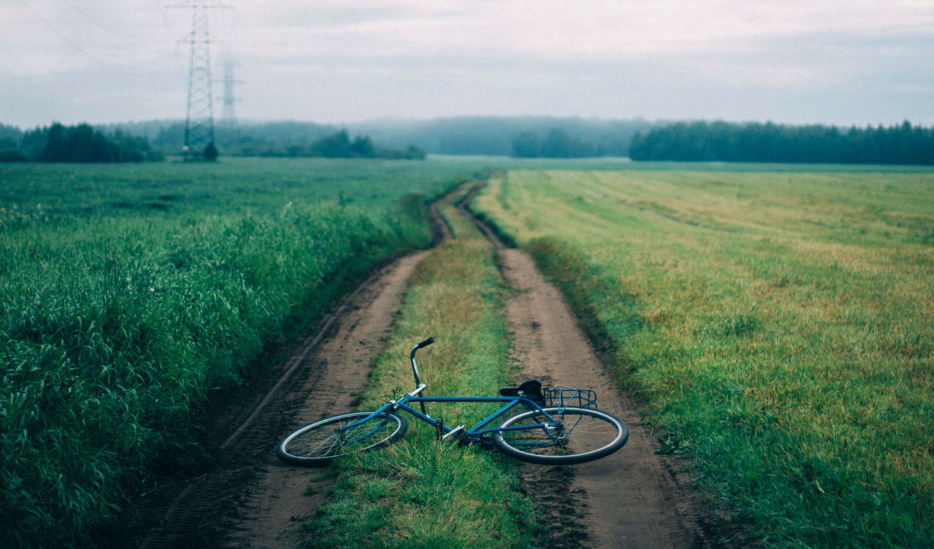
Photo by Анна Васильева from Pexels
Alto To Blue Ridge Parkway
This is a very remote area well above the roads in the valley and just below the Blue Ridge Parkway (which runs along the ridge line). We cross under the parkway twice, then return to the nice pavement of route 56 for a quick sweeping descent. The finishing loop starts on gravel via another remote slight downhill which comes out on the parkway for the final uphill kilometre. Enjoy the vista at the overlook at the end
31.17KM
DISTANCE
|
1:18:33
DURATION
|
792M
ELEVATION
|
Crozet Gravel South
This area is very fortunate to have a healthy network of gravel roads you can connect to make a loop. The foothills gravel is characterized by lots of up and down (and a bit steeper than the paved variety). Luckily on the trainer you don’t have to brake for the dusty turns before heading up the next kicker! If you like this – try the 2 part Crozet Gravel North loop.
30.08KM
DISTANCE
|
1:01:24
DURATION
|
551M
ELEVATION GAIN
|
NCR Trail Sparks to PA
The NCR trail is the old Northern Central Railroad that now runs from Hunt Valley, MD to York, PA. This ride is from milepost 5 to the PA state line. The grade is quite friendly, rarely rising more than 2-3 degrees. However, I couldn’t resist a little jaunt off the trail to tackle two very quiet adjacent hills. The trail runs along the Gunpowder River, a renowned trout fishing hotspot providing a picturesque backdrop to this valuable resource
27.82KM
DISTANCE
|
1:02:41
DURATION
|
300M
ELEVATION GAIN
|
Fall Horse Country
This ride wraps around prime horse farm country. The Hunt Cup steeplechase race was just the week before. These roads are frequented by MANY riders from a local bike/coffee shop = Veloccino. After several very popular segments and one lane wooden bridge crossings, the ride ends at the shop.
31.16KM
DISTANCE
|
57.00
DURATION
|
427M
ELEVATION GAIN
|
PA Return To MD Groad
This ride starts pretty deep in PA farm country making its way back to MD via a mix of gravel and lesser traveled paved roads linking the gravel. This ride even has several flat stretches. Nonetheless these tiny gravel roads and off the beaten path paved roads have plenty of up and down. Enjoy the rapidly disappearing fall colors and the slight overall elevation decrease!
30.6KM
DISTANCE
|
1:00
DURATION
|
469M
ELEVATION
|
Campbells and backside Reeds Gap Climb
The Blue Ridge Parkway is an incredible resource for outdoor enthusiasts. It was constructed in the 1930s during a Public Works Project and runs 470 miles along the blue ridge from Afton VA to Cherokee NC.
21.55
DISTANCE
|
58:08
DURATION
|
833M
ELEVATION
|
West Virginia Mountain Mama
This ride is on the edge of the state lines of Virginia and West Virgina covering territory from the most remote sections of two popular gran fondos (Jeremiah Bishop’s Alpine loop and Monterey, Virginia’s Mountain Mama). This area is characterized by a repetition of East-West ridges with climbs of around 1,000 feet with very scenic North-South valleys between the ridges. Enjoy the remote setting (no phone service and only one store on the entire ride) on a clear sky early September day!
31.13KM
DISTANCE
|
1:10:42
DURATION |
890M
ELEVATION
|
Pennsylvania farm land gentle rollers
Just over the border from the Maryland rides, this area of PA is equally quiet and rural but with mostly steadier grades. I filmed this thinking it could be ridden easier (perhaps for recovery) or mostly in the big ring for a more challenging ride.
30.24KM
DISTANCE
|
56:35
DURATION |
438M
ELEVATION
|
Catoctin Ridge
Catoctin is a mountain ridge just north of Frederick, MD. This ridge is framed by two very famous civil war battlefields – Antietam to the south and Gettysburg to the north and is the site of a local gran fondo that visits these landmarks. This ridge also is home to the presidential retreat of Camp David. The ridge is characterised by climbs of about 1000 feet in 2 to 3 miles. Some of the backroads have some pretty steep pitches as you will experience!
51.98KM
DISTANCE
|
1:46:53
DURATION
|
1052M
ELEVATION GAIN
|
Adirondack Rolling Hills
This is close to a local Tues night shop ride (Team Placid Planet). Nearby town Lake Placid was the site of the ‘32 and ‘80 Winter Olympics and currently the Ironman Lake Placid race. This loop is mostly smaller back roads so it only shares a few roads with the Ironman course. This ride never strays far from the Ausable river with lots of views of nearby mountains including the imposing Whiteface Mountain whose 3600 ft ascent is featured in another local ride.
64.12KM
DISTANCE
|
1:59:40
DURATION
|
761M
ELEVATION
|
Smugglers Notch Climb
Enjoy the flat 2 mile warm along the river and through the town of Jeffersonville then take on the 7.6 miles and 1650 feet climb to the notch between the two sides of the mountain. I’d divide the climb into 4 parts. The first part is a 1 mile is a stair step climb to Part 2 and the 3.5 mile false flat. The third part is a steady 7% grind past the ski resort (1.5 miles). Part 4 is above the ski resort, closed to trucks, closed in the winter, has the best pavement, shaded and steep at the top – pleasantly painful.
15.28KM
DISTANCE
|
39:35
DURATION
|
493M
ELEVATION
|
Whiteface Climb
This video includes a very gentle 3 mile/8 minute 1% down warm up on aptly named Bonnieview road. Enjoy the warm up because Whiteface is on like Donkey Kong from the stop sign. It is a carefully engineered toll road (meaning low traffic and not usually a training climb for the locals) that climbs 3530 feet in 8.1 miles averaging 8.1%. Other than some shallower straights in the last 1.5 miles it is remarkably even at 7.5-9.5% the whole way. It is a perfect climb to pick one cog and stay there (a LONG time).
18.11KM
DISTANCE
|
1:02:32
DURATION
|
1083M
ELEVATION
|
Pleasant Valley
‘A very scenic ride along the valley base of Mt. Mansfield – the highest in the state and base for ski resorts on both sides. After a rolling 7 miles along lower and upper Pleasant Valley roads you hit the town of Jeffersonville and start climbing toward the Smuggler’s notch ski resort. You climb for 1 mile then it’s a false flat until a turn on a side road and more climbing to a lake and perfect view of the slopes on the mountain. You want to do the full climb through the notch at the top of the mountain? No problem – that is the Smuggler’s notch mountain video!
19.02KM
DISTANCE
|
39:02
DURATION |
339M
ELEVATION
|
Styles Climb
You start with Styles Brook climb – 1.8 miles at 9%. Like many smaller back roads that don’t connect to bigger main roads – this climb has some nasty pitches – 3 distinct pitches at 15-20%. The gravel meadow and the views at the top make the work worthwhile. A Leadville MTB qualifier turns right at the top for even more steep climbing and back woods fun! You turn left and enjoy a blast of a descent with only one 1 mile 5% climb between you and getting back to the level of the river where you started.
22.58KM
DISTANCE
|
45:13
DURATION
|
384M
ELEVATION
|
Blue Ridge Alhambra Gravel Climb
Alhambra is a 9.5 mile long part paved/part gravel climb that does not actually intersect with the Blue Ridge Parkway. Because it does not connect or cross the parkway it is a VERY lightly traveled road (mostly used by campers). It is a kinder summer climb as it is pretty densely tree covered and runs along the Piney River for almost its entire duration. I included the similarly secluded and picturesque gravel warm up climb, Jack’s Hill to help you prep for this long climb. Chances are stronger for you to outpace the filming speed as there is some quite chunky gravel with large rocks in places. Enjoy the solitude
18.92KM
DISTANCE
|
1:01:24
DURATION
|
801M
ELEVATION
|