Run to the hills with Alexis

It’s been a little while since we had a collection from Alexis Berthillier so it’s with open arms we welcome his latest collection on to the app.

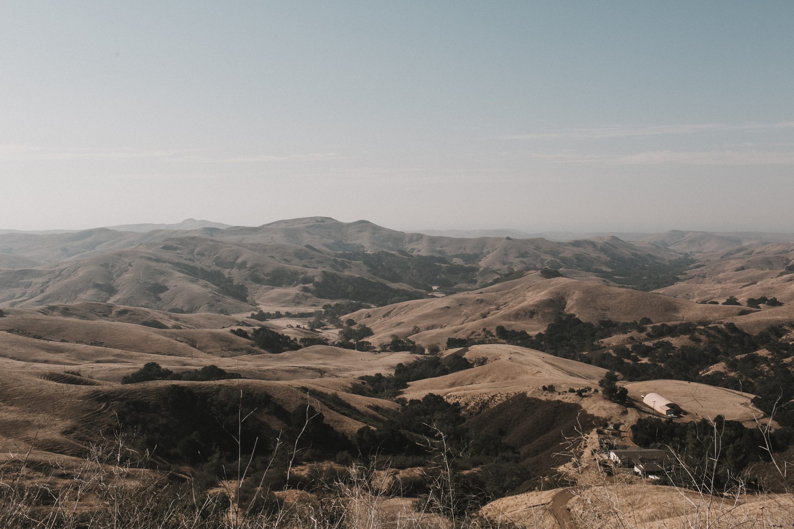
This week’s collection from Alexis is a fantastic series of routes that highlight varied hills and landscapes which he has captured for FulGaz.

You can find all these rides under NEW in the FulGaz App or by searching “Alexis“.

Photo by Vlada Karpovich from Pexels

LOS ALTOS HILLS INTERVALS LOOP

Los Altos Hills, a premier Silicon Valley residential community located near the City of Los Altos in Santa Clara County, CA, in the heart of the Silicon Valley. This is one of the main locations where the well known CEOs have a nice little home. In 2019, a Bloomberg analysis ranked Los Altos Hills the fourth richest town in the United States. This rides takes us around the town on short steep hills allowing for nice series of intervals.

More Info
30.32km
DISTANCE
01:23:58
DURATION
662m
ELEVATION

CALERO COUNTY PARK LOOP

Calero County Park is one of Santa Clara County's most diverse regional park and recreation areas. Once part of the Pueblo lands of San Jose, and Rancho San Vincente land grant, this approximate 4,471 acre park is nestled in the eastern foothills of the Santa Cruz Mountains. Two distinct areas define this park: the reservoir, which offers a host of water-oriented recreational activities, and the adjoining "back country" which reveals to the visitor California Oak woodland, chaparral, riparian plant communities and associated wildlife habitats. This ride takes you in a loop from the main park entry to one of the side entry along mainly single tracks with nice views of the reservoir and back.

More Info
31.47km
DISTANCE
01:35:53
DURATION
438m
ELEVATION

RUSSIAN RIDGE PRESERVE DRAGON RIDE

This 3,137-acre preserve is known for its showy display of wildflowers in spring. In summer, the hills turn to gold with the late evening sunlight. Autumn, when the fog recedes, is the ideal time to enjoy the ridge views of San Francisco Bay and the Santa Cruz Mountains through the crisp, clean air. Diverse plant communities, miles of forest edge, and abundant springs make Russian Ridge an outstanding habitat for wildlife. We are doing the Dragon Ride mainly on single tracks, unfortunately no great views of the Pacific Ocean or the Bay Area as we are above the clouds. But some wildlife at the beginning. Careful - trails are slippery with all this dust!!!

More Info
15.53km
DISTANCE
01:08:13
DURATION
518m
ELEVATION

FREMONT OLDER PRESERVE

Located on the urban fringe and extending towards Mt. Eden Road to the south and Stevens Creek County Park to the west, the 739-acre Preserve offers a variety of experiences to hikers, bicyclists, and equestrians. Local visitors will find Fremont Older Open Space Preserve of particular interest because of its proximity and richness in local history.

More Info
15.19km
DISTANCE
01:07:47
DURATION
530m
ELEVATION

STEVEN CREEK WHITE OAK TRAILS

This Mountain Bike ride takes us on a mix of single tracks and fire roads going up Stevens Creek Canyon Trail to the top where some nice views of the Bay are waiting for us. Once at the top, we take White Oak single track up and down to come back to Stevens Creek Canyon Trail and back down. Careful a very large deer is waiting for you when going down.

More Info
15.79km
DISTANCE
01:10:23
DURATION
511m
ELEVATION

ALPINE BELLA VISTA WHITE OAK MEADOW TRAIL

This MTB ride takes us on gravel tracks going up Alpine Road to Montebello Preserve and the very scenic Bella Vista single track to the top of Black Mountain where some epic views are waiting for you. We then go down to get to White Oak Single Track back in the shade of the old trees, and then back down Alpine with a small detour via Meadow Trail to catch some epic views of the Bay on the downhill.

More Info
18.18km
DISTANCE
1:31:34
DURATION
794m
ELEVATION

ALUM ROCK PARK

Alum Rock Park was founded in 1872 and is one of California’s oldest municipal parks. Nestled within the Alum Rock Canyon in the foothills of the Diablo Range, the Park's 720 acres of natural, rugged beauty, provide visitors with many leisure outdoor activities including hiking, horseback riding, bicycling, family and group picnicking, and of course just relaxing. This ride will take us on the N Rim, Boccardo loop, Sierra Vista, Aquila loop, Kristel and Upper Calaveras Fault trails featuring single tracks, fire road and steep gradients.

More Info
24.46km
DISTANCE
02:17:43
DURATION
963m
ELEVATION

EL SERENO ST-JOSEPH

El Sereno Open Space Preserve is named for 2,500-foot Mount El Sereno, part of a prominent ridge in the Santa Cruz Mountains that is located south of the city of Saratoga and west of the town of Los Gatos. Serving as a scenic backdrop to the town of Los Gatos, St. Joseph's Hill Open Space Preserve protects 273-acres of open space land on top of the 1,250-foot hill from which it takes its name. Providing a quick escape from nearby urban areas of the southern peninsula, the historic property begins about a mile from Los Gatos's popular downtown business district.

More Info
22.94km
DISTANCE
01:42:02
DURATION
913m
ELEVATION

ESCALANTE TO THE TOP OF BOULDER MOUNTAIN

State Route 12 or Scenic Byway 12 (SR-12), also known as "Highway 12 — A Journey Through Time Scenic Byway", is a 122.863-mile-long (197.729 km) state highway designated an All-American Road located in Garfield County and Wayne County, Utah, United States. Highway 12 is one of the most scenic highways in America. Highway 12 passes through Red Canyon, Bryce Canyon National Park, Grand Staircase-Escalante National Monument and over Boulder Mountain in the Dixie National Forest to its conclusion near the entrance to Capitol Reef National Park. One mile west of the town of Escalante is Petrified Forest State Park. The town itself borders the Grand Staircase-Escalante National Monument. The road continues through the Escalante canyons with panoramic views over miles of colorful slickrock. Nearing the town of Boulder, Highway 12 twists and turns through the Hogsback, a section of the road where cliffs drop steeply into narrow canyons on both sides of the highway. This ride takes you from Escalante to the top of Boulder Mountain with astonishing views of the canyons along the way.

More Info
67.08km
DISTANCE
03:21:54
DURATION
1719m
ELEVATION

LOS ALTOS HILLS MIXED TERRAIN LOOP

Los Altos Hills, a premier Silicon Valley residential community located near the City of Los Altos in Santa Clara County, CA, in the heart of the Silicon Valley. This is one of the main location where the well known CEOs have a nice little home. In 2019, a Bloomberg analysis ranked Los Altos Hills the fourth richest town in the United States. Los Altos Hills is recognized for their Pathway System which we will explore on this ride

More Info
17.80km
DISTANCE
01:02:02
DURATION
397m
ELEVATION

CALERO COUNTY PARK CLIMBING LOOP

Once part of the Pueblo lands of San Jose, and Rancho San Vincente land grant, this approximate 4,471 acre park is nestled in the eastern foothills of the Santa Cruz Mountains. Two distinct areas define this park: the reservoir, which offers a host of water-oriented recreational activities, and the adjoining "back country" which reveals to the visitor California Oak woodland, chaparral, riparian plant communities and associated wildlife habitats. During the months of March, April and May the "back country" offers a spectacular display of wildflowers. In addition, the park offers breathtaking views of southern Santa Clara County and the surrounding Santa Cruz Mountain Range.

More Info
30.02km
DISTANCE
01:59:14
DURATION
812m
ELEVATION

QUICKSILVER PRESERVE

Almaden Quicksilver County Park is the site of over 135 years of mining activities and former home to more than 1,800 miners and their families. The park encompasses 4,163 acres, occupying a majority of Capitancillos Ridge. During early spring, the park offers one of the most spectacular wildflower displays in the region. Remnants of the mining era also offer an exciting look into the mining operations of the latter part of the 19th century. This ride takes you around all the fire roads available to bikes with some interesting steep gradients.

More Info
28.99km
DISTANCE
02:01:24
DURATION
966m
ELEVATION

Subscribe to FulGaz

Now available on a wide choice of platforms including Android, Apple TV, iPad, MacOS, iPhone and Windows. FulGaz offers you the ultimate ride!

Pricing